
Eagle Neighbor Records by Source
The strongest block search joins parcel geometry, a property card, recorded instruments, and public community records. None is a roster of everyone physically present. Ada County GIS shows where parcels touch. The Assessor names a primary owner after an address or parcel search. The Recorder supplies documents tied to the parcel or legal description. Voter reports cover registered voters under Idaho rules, and Eagle's civic pages identify projects or public association contacts.
| Source | Block evidence | Access |
|---|---|---|
| Ada GIS parcel map | Parcel polygons, IDs, addresses, values, zoning, nearby geometry | Free viewer or REST; 1,000-result cap |
| Assessor property card | Owner, mailing and situs fields, parcel, legal description | Free address or parcel search |
| Ada Recorder index | Deeds, liens, plats, and recorded parties | Online index; some images require staff or fees |
| Eagle permits | Project, address, permit or occupancy chronology | Laserfiche reports and record requests |
| Idaho voter report | Lawfully released voter fields at recorded addresses | $20 report; use and privacy limits |
| HOA Networking Group | City liaison and association network | Public city contact, no private member list |
Ownership is the most common source of confusion. A parcel may belong to a trust, estate, firm, or several people. The tax mailing address can differ from the property address. Neither fact proves where an owner sleeps or who else shares the home.
Map Eagle Neighbors Parcel by Parcel
The adjacent-parcel method starts with one known address in the Ada Assessor map. Select its parcel polygon, pan just far enough to see the lots beside and across from it, and record the nearby parcel IDs and situs addresses. “Situs” is the physical property address. Geometry means the mapped parcel shape; it is assessment data, not a survey or final fence line.
- Locate the target address in the Ada County Property Lookup or GIS viewer.
- Select the parcel, then pan to the lots immediately beside and opposite it.
- Copy each parcel number, address, legal description, zoning, and city-limit context.
- Open each address in Property Lookup to read the owner and mailing fields.
- Use the parcel or legal description in the Recorder when a deed or plat is needed.
That flow builds a small block record without pretending to name every occupant. For a whole road rather than a tight radius, move to the Eagle street directory.
Eagle Neighbor Maps Can Stack Units
One Eagle street address can produce several parcel cards. Sample MapServer/24 results for 323 E Riverside Drive returned condominium units in Advanced Healing Plaza Condo, each with its own parcel identifier, unit description, assessed value, 2026 property year, and MU-DA zoning. Results at 79 E Aikens Road showed Aikens Plaza Condo units with CBD-DA zoning and separate values.
This is a useful local quirk. A pin or building address may look like one property while the legal parcel layer contains many units. Count parcel polygons and unit descriptions before drawing conclusions about the block. The county map can show those units and nearby geometry, but only a recorded plat or survey resolves the legal layout.
Note: Multiple Eagle parcels at one address reflect legal units, not a verified count of neighbors or households present today.
Confirm Eagle Neighbors by Address
The Assessor's public search accepts an address, parcel, subdivision, or year. It deliberately does not accept an owner name. That makes the block workflow address-first. A returned card can show primary owner, owner mailing address, property address, parcel number, legal description, value, assessment year, subdivision, and property traits. Read the dates and labels before matching two records.
A mailing address is where tax correspondence goes. It may be the same as the situs address, but a difference is not proof that the owner lives away from Eagle. Likewise, any occupancy or exemption indicator is a clue, not a full household record. Trust and company ownership also breaks a simple person-to-door assumption.
Eagle Neighbors Meet Through HOA Network
The city's HOA Networking Group is an unusual official bridge between private associations and City Hall. It meets quarterly and lists Nancy Merrill as liaison. The group supports association contacts and civic coordination, but it is not a public directory of HOA members. The city also states that the related Facebook group is not city-managed, so public and private records should not be blended.
Eagle HOA Networking Group
Quarterly City Hall network for association contacts and shared local issues.
Ada County Property Records
Use a parcel or address when no association publishes a public contact.
The official page shown below provides the public contact layer for Eagle neighbors without exposing private member rosters.
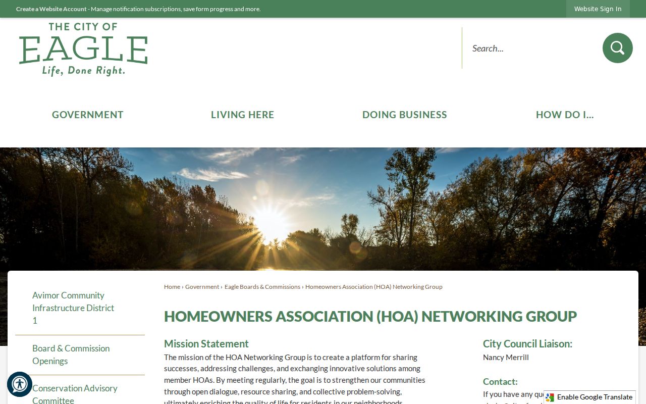
Use the liaison for civic routing, then ask a private association directly what it chooses to make public.
Subdivision Names Refine Eagle Blocks
Eagle utility materials name subdivisions such as Arvory Crest, Bald Eagle Point, Brookway, Brookwood, Cabra Creek, Eaglecrest, Eaglefield Estates, Lexington Hills, Lilac Springs, Legacy, Mosscreek, The Ranch, Riverwalk, Terraview, Valnova, and Vizcaya. These names help match a parcel, plat, or association when a street label is broad.
Service territory is not customer data. The city's list of water-served subdivisions reveals geography, not who pays a bill or lives at a property. Search a subdivision in the Assessor, then confirm lot, block, parcel, and legal description. Eagle's planning names, including Downtown, Eagle Island, River Plain, Rural, Village, Ballantyne, and Brookside, add context but are not resident lists.
Eagle Neighbor Projects and Permits
Permits and certificates of occupancy place change on a block's timeline. Eagle publishes weekly building-permit reports by year in Laserfiche. City transparency records also include permits, certificates of occupancy, agendas, contracts, and other records. Older residential plans can be destroyed two years after a certificate of occupancy under the cited retention practice, so a report or index may remain when a plan set does not.
The Eagle transparency repository is one official route to address and project records.
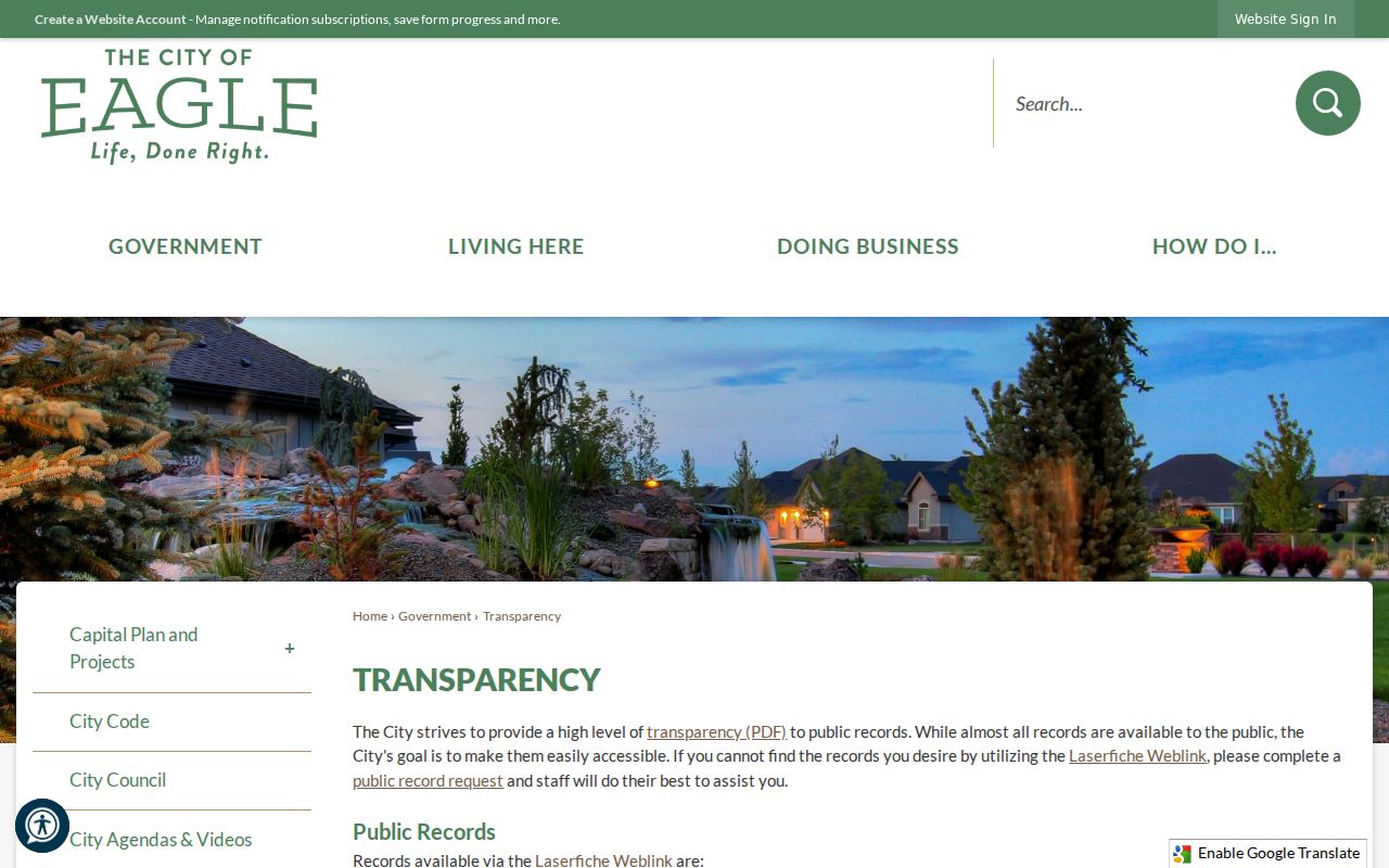
The page helps date public work near Eagle neighbors without supplying household data.
For county-routed work, the Ada County permitting division explains its permit and records channels.
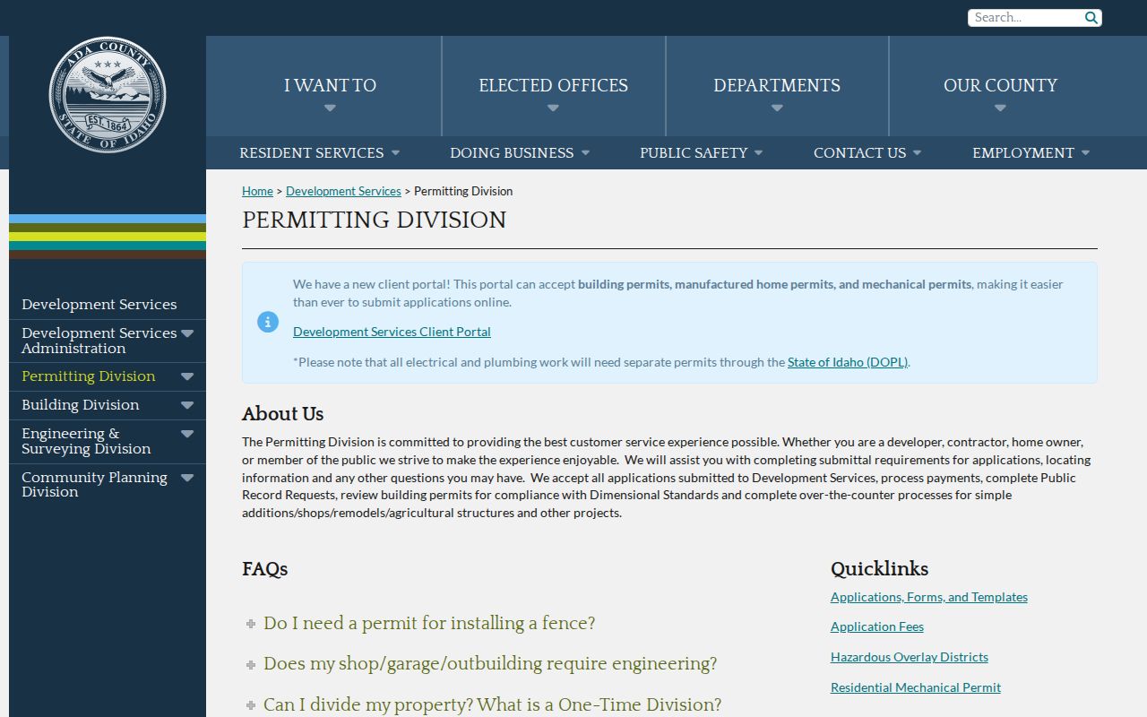
When a document is absent online, use the public-record request route and describe the address, permit type, and date range precisely.
Eagle Neighbor Business Addresses
A nearby address may be commercial, mixed-use, or a condominium unit rather than a home. Eagle's city business directory can connect a listed firm to its public category and location. It is a business-listing source, not proof of who owns a parcel, who works there, or who resides nearby. Compare the listing with the parcel card and zoning before deciding what the address represents.
The Eagle business directory provides the city's public listing interface.
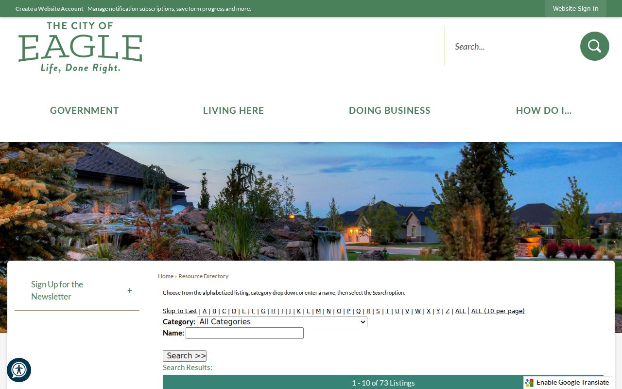
This civic layer is most useful on blocks where storefront and residential addresses sit close together.
Eagle Neighbor Voter Records
Idaho's public voter roll can include first, middle, and last name, street and mailing address, county, age rather than full birth date, gender, declared party, optional phone, and participation history. It does not reveal ballot choices. Full dates of birth, driver-license data, Social Security digits, signatures, and protected registration material stay off the public roll.
The individual VoteIdaho search is not a block browser. A larger lawful request goes through the Secretary of State's report-order form, with a $20 choice for registration data or registration plus history. Address Confidentiality Program voters receive protected handling and a substitute address. No block search may be used to defeat that safety measure.
Note: A voter record shows registration at a recorded address, not every person in the home or present on the block.
Official Eagle Neighbor Sources Compared
Commercial neighbor tools combine old property, voter, court, and web data. Their matching and update dates vary, and a polished report cannot override Idaho privacy rules. Official sources are narrower but easier to audit because each record names its keeper and purpose.
| Choice | Strength | Limit |
|---|---|---|
| County and city records | Known custodian, dated fields, request fallback | Must search several systems |
| Commercial compiled category | May combine many hints | Source age and identity matches can be unclear |
| Private association contact | Direct community route when shared publicly | Member lists remain private |
For Eagle neighbors, begin with map and address facts. Verify a document with the office that keeps it, and leave private association, utility, delivery, and household information private.
Eagle Neighbor Safety Records
Public-safety systems answer narrow official questions and should not be treated as a general neighbor directory. Ada County publishes a live jail roster with a status disclaimer. Idaho State Police offers an offender-registry search by ZIP, name, city, county, or map, together with strict misuse warnings. An entry is tied to the registry's own status and update terms, not a claim about everyone near an address.
The Ada County jail roster is the county's direct custody source.
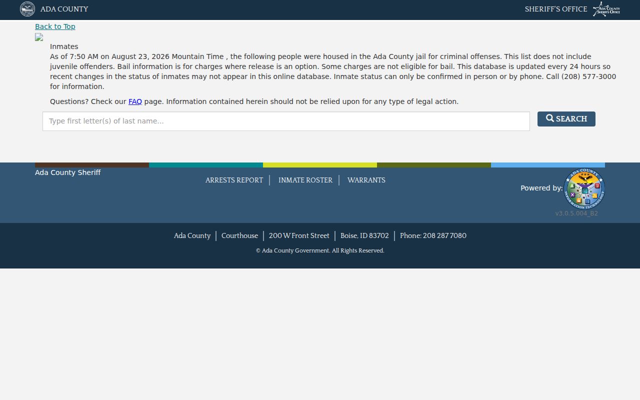
The capture should be read with its current update and status notice.
The Idaho offender registry ZIP search is the official location-based registry channel.
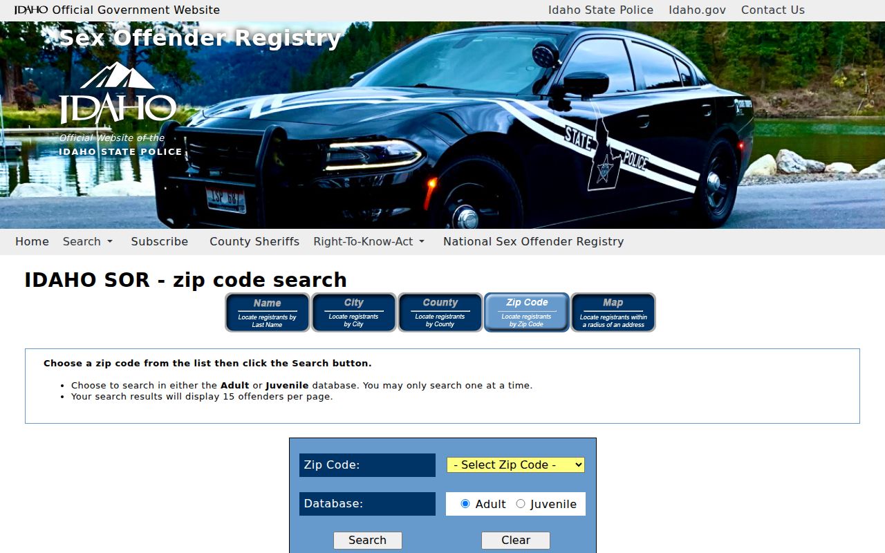
Use registry data only for its lawful public-safety purpose and verify the current official record.
Privacy Limits for Eagle Neighbors
Parcel and civic records cannot disclose every person on a block. Non-owner occupants, unregistered household members, utility customers, private HOA members, USPS delivery details, DMV addresses, sealed court parties, and protected voters remain outside a lawful neighbor map. Congregation, block-watch, fraternal, and civic-club rosters were not found as open official Eagle databases.
Lawful use. Learn about a block or reconnect with care, but never use Eagle neighbor records to watch, intimidate, harass, or harm anyone.
Respect also applies on site. Eagle's historic walking-tour brochure points out notable private buildings and tells visitors not to enter homes. Public history, a mapped facade, or an ownership record never grants access to private property.