
Walk an Eagle Street by Address
An address can identify the parcel owner, but it cannot name every person who lives there. The Ada County Assessor Property Lookup supplies the first firm link: situs address, parcel number, primary owner, mailing address, legal description, assessment year, value, and property traits. Other records add dated evidence. A deed proves a recorded transaction, a voter file identifies registered voters, and a reverse directory can name an occupant in the year it was printed.
- Enter the full or partial Eagle address in the Assessor search. Copy the situs address, parcel number, owner, mailing address, and legal description.
- Open the county parcel map and identify the parcels beside it. Pan along the road instead of assuming one search result represents the whole street.
- Use an official Idaho voter record or lawful voter-file request for dated registration evidence. A voter entry is not a full household list.
- Take the parcel or legal description to the Ada County Recorder. Follow grantor and grantee names through recorded deeds.
- For older occupants, ask Boise Public Library for the relevant cross-reference or telephone directory volume.
This order keeps names tied to dates. It also separates ownership, registration, and actual residence, which may not match on the same day. Save each result with its access date, since parcel, permit, and voter records can change after the search.
Eagle Street Directory Search Fields
The public Assessor site deliberately omits an owner-name search. That makes the street address the key. Partial text is allowed, and results are ranked by relevance. New subdivision parcels may appear under a future assessment year, while current-year data can lag until assessments are final.
| Search choice | Accepted input | Best use |
|---|---|---|
| Address | Full or partial number, direction, street name, and type | Find one parcel or repeat house numbers by street |
| Parcel Number | Full or partial M, O, R, or S-prefixed value | Return to an exact parcel despite address drift |
| Subdivision Name | Full or partial subdivision text | Group lots in a named development |
| Year | Current, prior, or applicable future year | Compare assessment records by year |
| Owner name | Not offered publicly | Read the primary owner after opening a parcel |
The successful Assessor capture shows the real address-first interface. Open the Ada County property search before comparing it with the image.
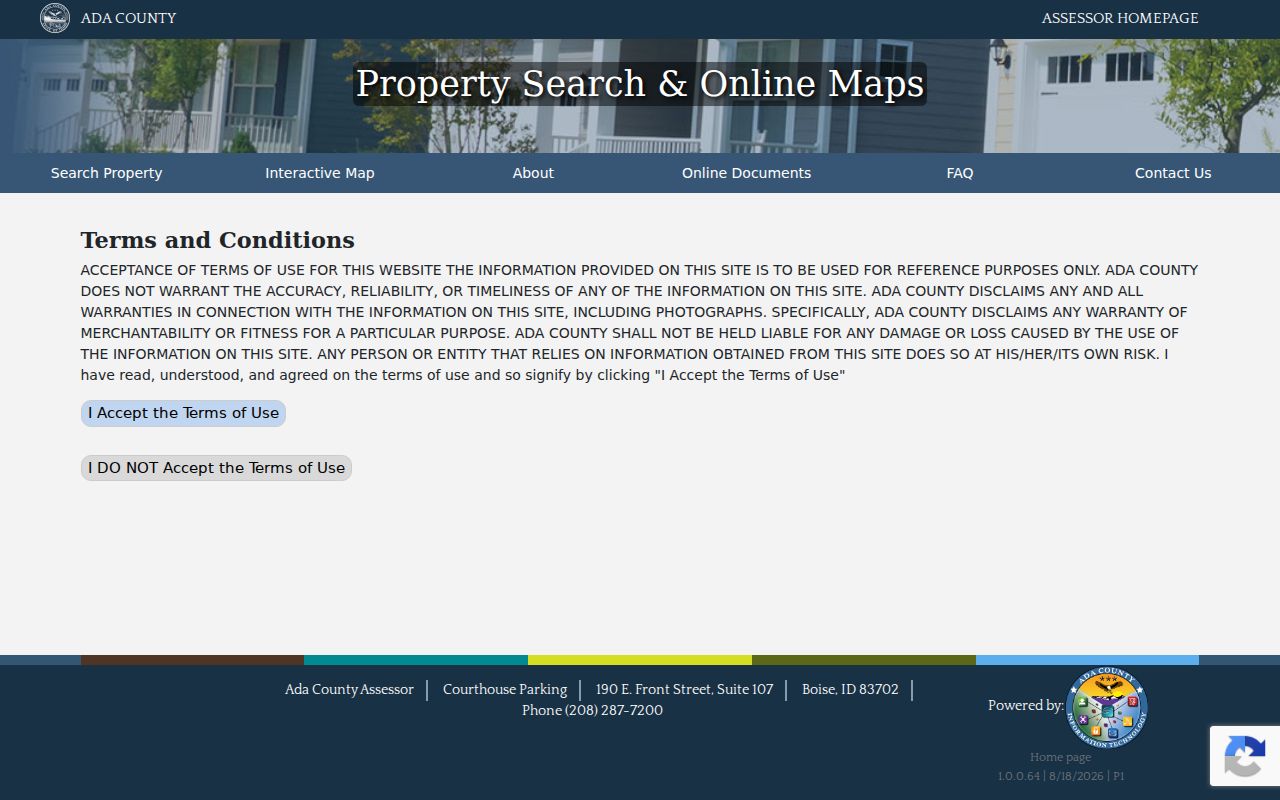
The screen confirms why an Eagle by-address search begins with parcel data, not a guessed owner name.
Map Eagle Records Along a Street
The county GIS parcel layer can pan, identify, and query adjacent polygons. Public fields include parcel, property address, legal description, assessed value, acreage, year, zoning, and code-area data. Geometry can be returned for map work. The service limits a response to 1,000 records, so narrow a whole-street query or page the results.
The address layer adds street name, community label, state, ZIP4, addressing grid, and local ID. The city-limits layer is set by tax code and changes with annexations. Compare those layers before treating an Eagle mailing label as proof that a parcel lies inside city limits.
- Parcel
- A county identifier for a mapped piece of land.
- Situs address
- The physical property address, distinct from the tax mailing address.
- Plat
- A recorded map that fixes lots, blocks, and subdivision names.
- Criss-cross directory
- A directory arranged by address or phone, useful for finding a dated occupant.
Note: The Ada map supports assessment work, but it is not a survey and cannot settle a fence or legal boundary.
Eagle Street Names Follow Four Grids
Ada County Land Records assigns addresses for Eagle through four addressing grids with a central zero point. Numbers rise outward. After a final plat, new lots receive sequential grid-based addresses. Changes can be required when a road is out of sequence, access shifts, or odd and even numbering no longer works.
The county sends assigned addresses to agencies such as USPS and the Sheriff, and an owner has a 30-day appeal route. No official citywide Eagle renumbering year was found. When an old address fails, try the legal description, subdivision, lot and block, street-direction variants, and a nearby landmark rather than inventing a renumbering date.
The Ada street naming and addressing page explains the grid rule and appeal path. Its successful capture shows the official local authority behind the street directory.
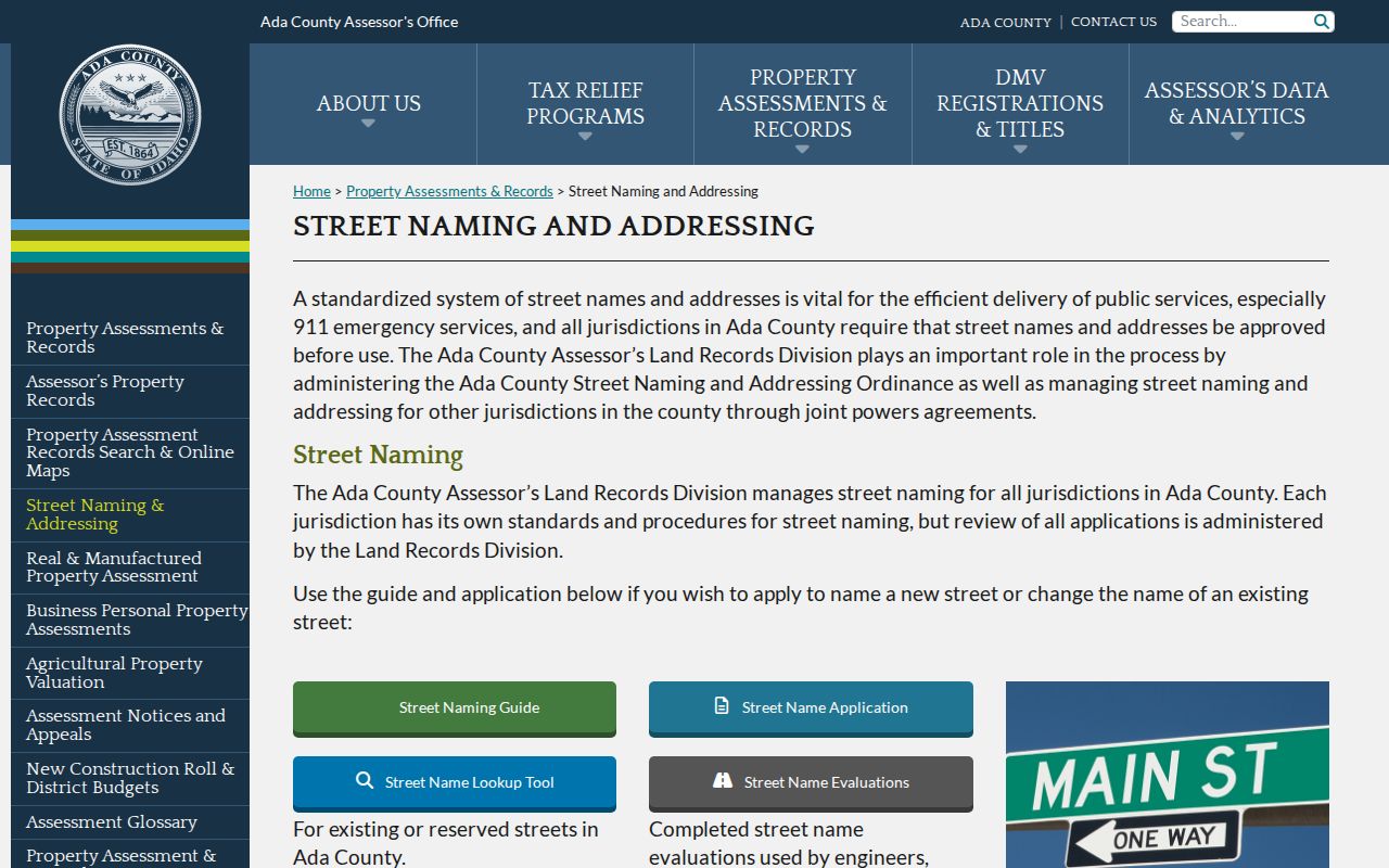
That county process explains why the legal parcel key remains useful when everyday address text changes.
Records Behind an Eagle Street Directory
No one record is a complete Eagle street directory. Each keeper supplies a different dated layer, and every access channel matters when an image or index is absent.
| Record Set | Keeper | What It Shows | Access |
|---|---|---|---|
| Property and tax roll | Ada County Assessor | Primary owner, mailing and situs address, parcel and legal description | Free address, parcel, subdivision, and year search |
| GIS parcel map | Ada County Assessor/GIS | Parcels, zoning, value, acreage, geometry | Free map and REST layer |
| Deeds, plats, and liens | Ada County Recorder | Recorded parties, dates, instruments, title chain | Tyler index; staff, counter, or paid copy when blocked |
| Voter file | Idaho Secretary of State | Registered voter fields and participation history | Official lookup or $20 report request, subject to limits |
| Permits and certificates | Eagle or Ada Development Services | Project, address, dates, and published contacts | Laserfiche, city request, county request |
The parcel number joins the tax card to deeds and plats. The street string connects permits and voter data. For a missing record, call the Assessor at 208-287-7200, the Recorder at 208-287-6840, or use the appropriate public-record request instead of assuming nothing exists.
Turn Eagle Parcels Into Deed Chains
The Ada Tyler Official Records Search accepts both names, date range, instrument number, book and page, grantor, grantee, parcel, document type, and legal-description parts. Online coverage displayed from January 1, 1982 through August 9, 2026 during research. That is an online window, not the start of county land records.
Search the parcel or legal description first, then preserve party roles and instrument numbers. Some deeds and other document classes require staff or counter help even when the index result exists. Older books may be at the Recorder, on microfilm, or with Idaho State Archives. Ada County also documented a project to redigitize and index historic records from 1864 through 1996.
Eagle Permits Date Street Changes
Eagle weekly building-permit reports are arranged by year in Laserfiche. City transparency records also include certificates of occupancy and inspections. A report may name a project contact or applicant, but it proves a permit event, not who occupied the address.
Retention matters. Some residential plans become eligible for destruction two years after a certificate of occupancy, so a report or index may survive after the plan set is gone. The City Clerk can route a narrow request through Laserfiche, Granicus, or JustFOIA; county-jurisdiction work goes to Ada Development Services.
Older Eagle Residents by Street
Boise Public Library lists Polk directories from 1891 to the present, telephone books from 1948, and Hill-Donnelly cross-reference holdings. Ask whether a specific volume includes Eagle before relying on it. For the collections themselves, use the Eagle city directory page; here, the useful part is the address section that can place a named occupant on a street in a given year.
The 1914 Eagle Sanborn map adds structure footprints and use, while Eagle newspaper runs add sales, deaths, permits, and civic notices. Neither source proves title. Their dates can explain why an address or building appears differently from the current parcel card.
Eagle Street Records Across Time
Eagle's official history begins with settlers farming near the Boise River in 1863, while the city incorporated in 1971. The historic walking tour ties that story to physical sites: a Methodist church begun in 1887 with a 1906 sanctuary, and the Bushnell-Fisher House built in 1909. Those dates give an Eagle street directory search firm checkpoints for deeds, maps, papers, and later permits.
The county record system is older than the city. Ada County was created in 1864, and Idaho State Archives describes county land, tax, court, vital, and citizenship series from 1863. An early property may therefore be filed under Ada County, a rural address, or Boise-area directory coverage rather than the later Eagle city name.
Modern access arrived in layers. Eagle uses Laserfiche, Granicus, and JustFOIA for city material, while Ada County uses Tyler for recorded instruments and ArcGIS for parcel data. There was no single date when every Eagle street record went online. Search each keeper by its own coverage, then use the counter, phone, written request, library, or archives for the gap.
Limits of an Eagle Street Directory
A by-address search cannot produce a complete list of non-owner occupants, household members, utility customers, unregistered people, protected voters, or sealed case parties. DMV address data is restricted. USPS can confirm delivery geography, but it does not confirm that a named person or company occupies an address.
Read dates and labels closely. A mailing address shows where tax mail goes, not where an owner sleeps. A voter record covers a registered voter, not everyone in a home. A GIS click identifies a parcel, not a relationship between neighbors. These distinctions make the Eagle street directory more accurate and protect private life.
Lawful use. Use Eagle address records only for lawful personal, historical, property, or civic research. Never use a street search to stalk, harass, intimidate, or harm anyone.